LiDAR Pre-Processing: Tips and Techniques for Data Cleaning
LiDAR (Light Detection and Ranging) is a pretty amazing remote sensing technology that’s totally changed the way we collect and analyze geospatial data. LiDAR sensors can generate high-resolution, three-dimensional point cloud data that can be used to create accurate digital terrain models, perform vegetation analysis, and more.
But before you can use LiDAR data for analysis, you’ve got to pre-process it to get rid of any errors and artifacts that could affect the quality of the data. In this post, we’ll share some tips and techniques for LiDAR pre-processing to help you make sure your data is clean and ready for analysis.
Quality Check the Data
The initial step in the pre-processing of LiDAR data is to perform a quality check on the data. This involves the identification and rectification of issues such as data gaps, intensity anomalies, and other errors that can affect the accuracy of the data. Common quality check techniques include visual inspection, data comparison with other sources, and statistical analysis.
Remove Noise and Artifacts
It is essential to remove any noise and artifacts from the data. These can include vegetation, buildings, and other objects that may interfere with the LiDAR signal. There are a variety of algorithms and techniques that can be used to filter out noise and artifacts, including ground filtering, outlier removal, and normalization.
Classify the Data
Once the data has been cleaned of noise and artifacts, it can be classified into different categories based on its characteristics. This may include ground points, vegetation points, and building points, among others. Classifying the data allows for more accurate analysis and visualization of the data, which in turn leads to more informed decision-making.
Correct for Systematic Errors
It is crucial to address any systematic errors that may be present in the data. Such factors may include errors in sensor calibration, atmospheric distortion, and other variables that can affect the accuracy of the data. Correction techniques may include adjusting the elevation values of the data, performing atmospheric correction, and other methods.
In conclusion, it is of the utmost importance to ensure that your LiDAR data is accurate and ready for analysis by implementing a robust pre-processing strategy. By following these tips and techniques, you can help ensure that your LiDAR data is clean and ready to use for a variety of applications.
Pre-Processing and Classification with VisionLIDAR
Pre-Processing:
VisionLidar has got you covered with its robust pre-processing capabilities, ensuring your data is clean, accurate, and ready for analysis. The pre-processing steps include:
- Importing data: You can easily import point cloud data from different sources and formats.
- Noise Reduction: It automatically filters out any noise and unwanted points to improve the quality of the data.
- Point Cloud Registration: Align multiple scans to create a unified coordinate system, so that your data is consistent across the board.
- Ground Point Identification**: It helps to distinguish between ground points and non-ground points, which is useful for terrain modeling and further classification.
- Segmentation: Split up large point clouds into smaller, more manageable sections for easier processing and analysis.
Classification:
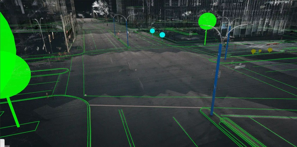
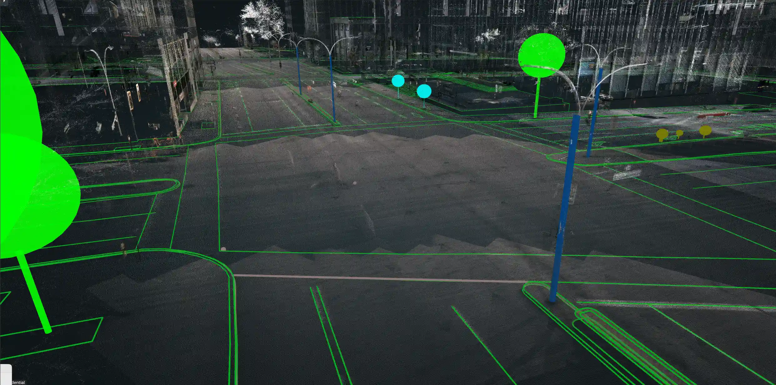
VisionLidar‘s advanced classification tools let you categorize and label different elements in your point cloud data accurately. The classification process includes:
- Automatic Classification: Use machine learning algorithms to automatically classify points into predefined categories like ground, vegetation, buildings, and other structures.
- Manual Classification: If you want to be super precise, you can manually classify points using tools that are really easy to use and customizable classification schemes.
- Feature Extraction: Find and pull out the specific features from your point cloud data, like power lines, poles, and other infrastructure elements.
- Custom Classification Rules: You can also create your own classification rules to meet specific project requirements or industry standards.
- Quality Control: Make sure your classified data is accurate and reliable by doing some thorough quality checks.
VisionLidar‘s pre-processing and classification tools let you turn raw point cloud data into useful insights, making it easier to analyze and use the information for different applications. Whether you’re working on urban planning, infrastructure management, or environmental monitoring, VisionLidar gives you the precision and efficiency you need.
We would be delighted to hear about your project. Please do not hesitate to contact us.
