

A Message from Wilfrid Beaupre
CEO of Geo-Plus
Pioneering Change in AEC Software: Geo-Plus has been on an incredible journey since 1987, pioneering innovation in the AEC (architecture, engineering, and construction) software market. The purpose was clear – to transform the sector. We’ve had the privilege of serving thousands of clients worldwide, offering cutting-edge software and services.
The Vision Suite: Our Commitment to Excellence: The Vision Suite is the embodiment of our commitment to excellence. It’s a product we’re proud of, featuring over 16 advanced 3D measurement, 3D structures, geometry, cadastre, and document management solutions. Our applications seamlessly integrate with AutoCAD, Map3D, Civil3D, MicroStation, PowerDraft, and Bricscad.
Unlocking the Future with LiDAR: Our crown jewel is the Cutting-Edge LiDAR software and Web-based Point Cloud sharing platform – VisionLidar and VisionLidar 365. They’re the vanguard of CAD/GIS technology, reshaping the way infrastructure professionals work. It’s a product of passion and dedication.
Innovation and Client Satisfaction:
The cornerstone of our success is innovation and client satisfaction. We’ve always believed in delivering not just software but real solutions. Our emphasis on customer service is unwavering. Our goal is to provide you with the tools you need to excel in your field.
The Journey Ahead:
Our journey is far from over. We envision a future where Geo-Plus continues to redefine the AEC sector by providing the best in software solutions and customer support. Our promise is innovation and client satisfaction. So, let’s shape the future together… It’s a journey worth taking!
In your service,
Wilfrid Beaupre
CEO of Geo-Plus
Decades of Innovation: A Geo-Plus Timeline Journey
Embark on a journey through time with Geo-Plus! Since our inception in 1987, we’ve been pioneers in land surveying software and technological advancements. From setting the industry standard for total station compatibility in our early years to breaking new ground in 3D scanning and AI integration in more recent times, each step in our timeline marks a commitment to innovation. Join us in exploring the milestones that have shaped Geo-Plus into a leading force in the geospatial technology landscape.
The company achieved a significant milestone in 2005 by developing VisionMNT, a 3D solution, showcasing its commitment to advanced technologies in the AEC sector.
The year 2018 saw a major leap with the incorporation of Building Information Modeling (BIM) functionality and the launch of VisionLidar 365, emphasizing the company’s focus on cutting-edge developments in the AEC software domain.
The introduction of the VisionDNN module in 2021 showcased the company’s dedication to leveraging artificial intelligence with deep learning for point cloud classification—a crucial advancement in the AEC industry.
Geo-Plus’s Pioneering Legacy in Surveying Software
Embarking on the journey in 1987, Geo-Plus pioneered change in the land surveying software realm. Back then, the landscape was scattered with proprietary technologies, each fieldbook designed exclusively for its total station.
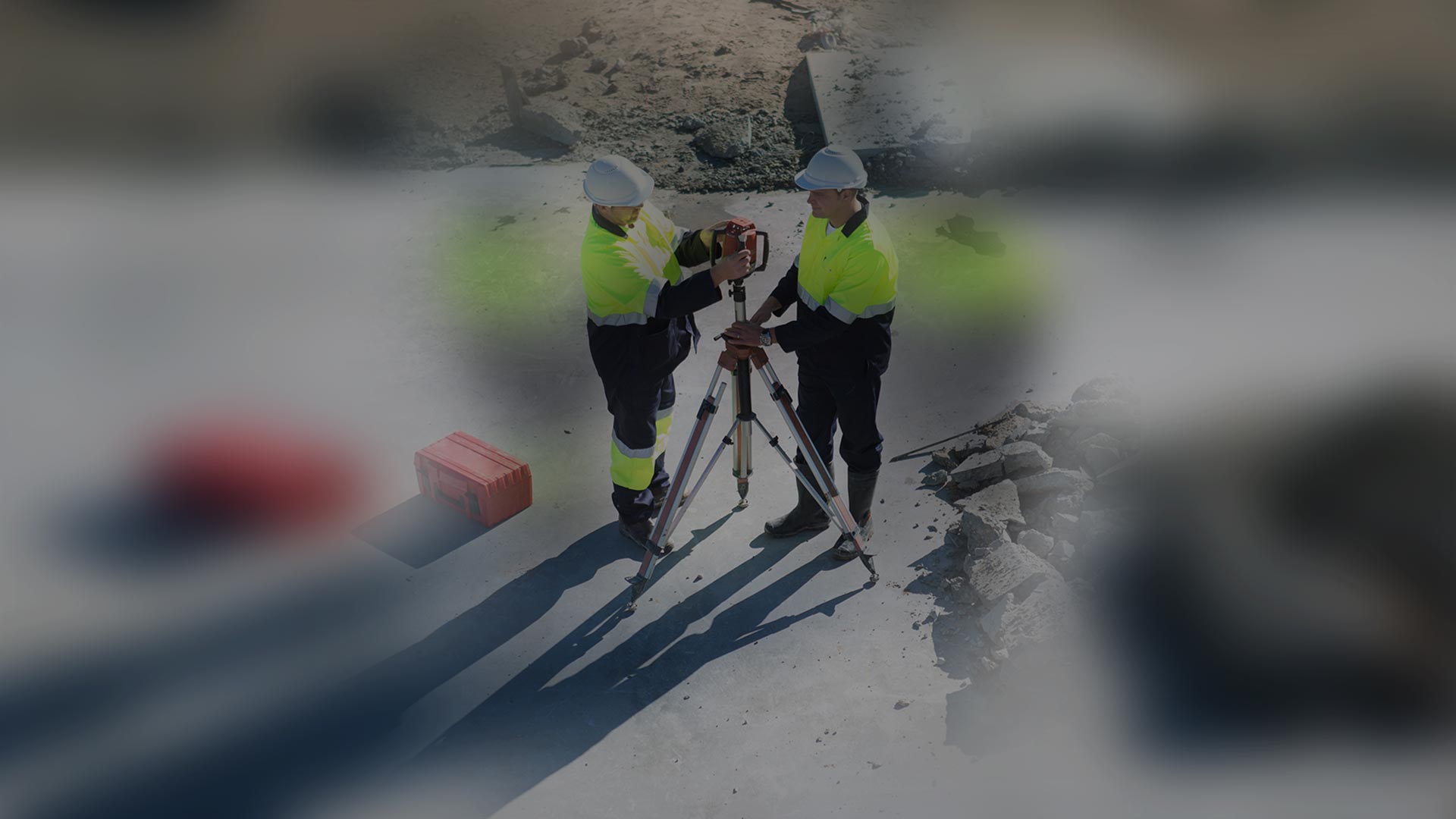

In a bold move, Geo-Plus became the torchbearer, introducing a universal standard of compatibility that reshaped the industry. Our commitment to innovation started then and continues to illuminate our path today.
Geo-Plus’s Leap into Universal 3D Scanning
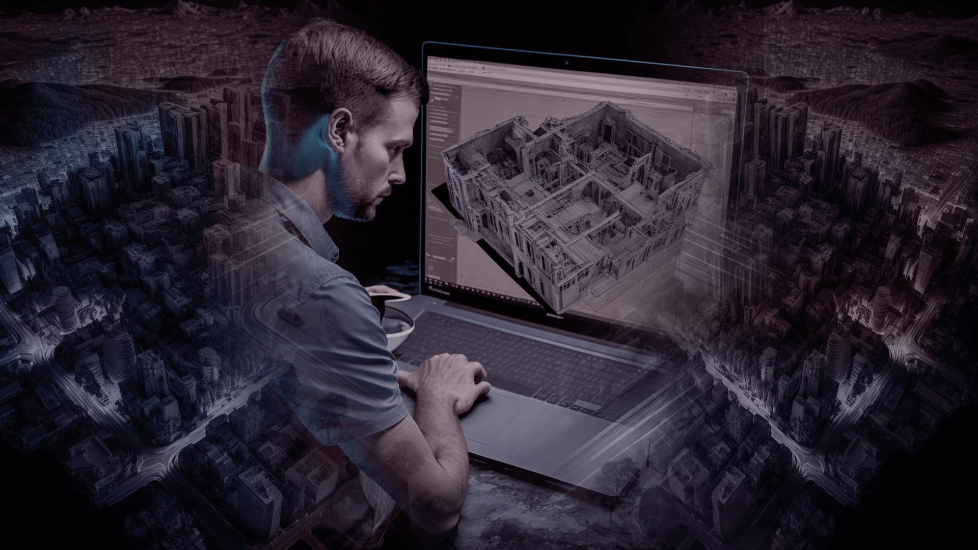
In 2013, the realm of 3D scanners was marked by proprietary formats and software limitations. Undeterred by these barriers, Geo-Plus took a bold step. Introducing a groundbreaking software that not only deciphered diverse data formats but also exhibited an unprecedented ability to display an infinite array of point clouds. This move not only expanded accessibility but also set a new standard in the dynamic world of 3D scanning.
AI Empowers Insight: Geo-Plus’s Evolution in 3D Object Recognition
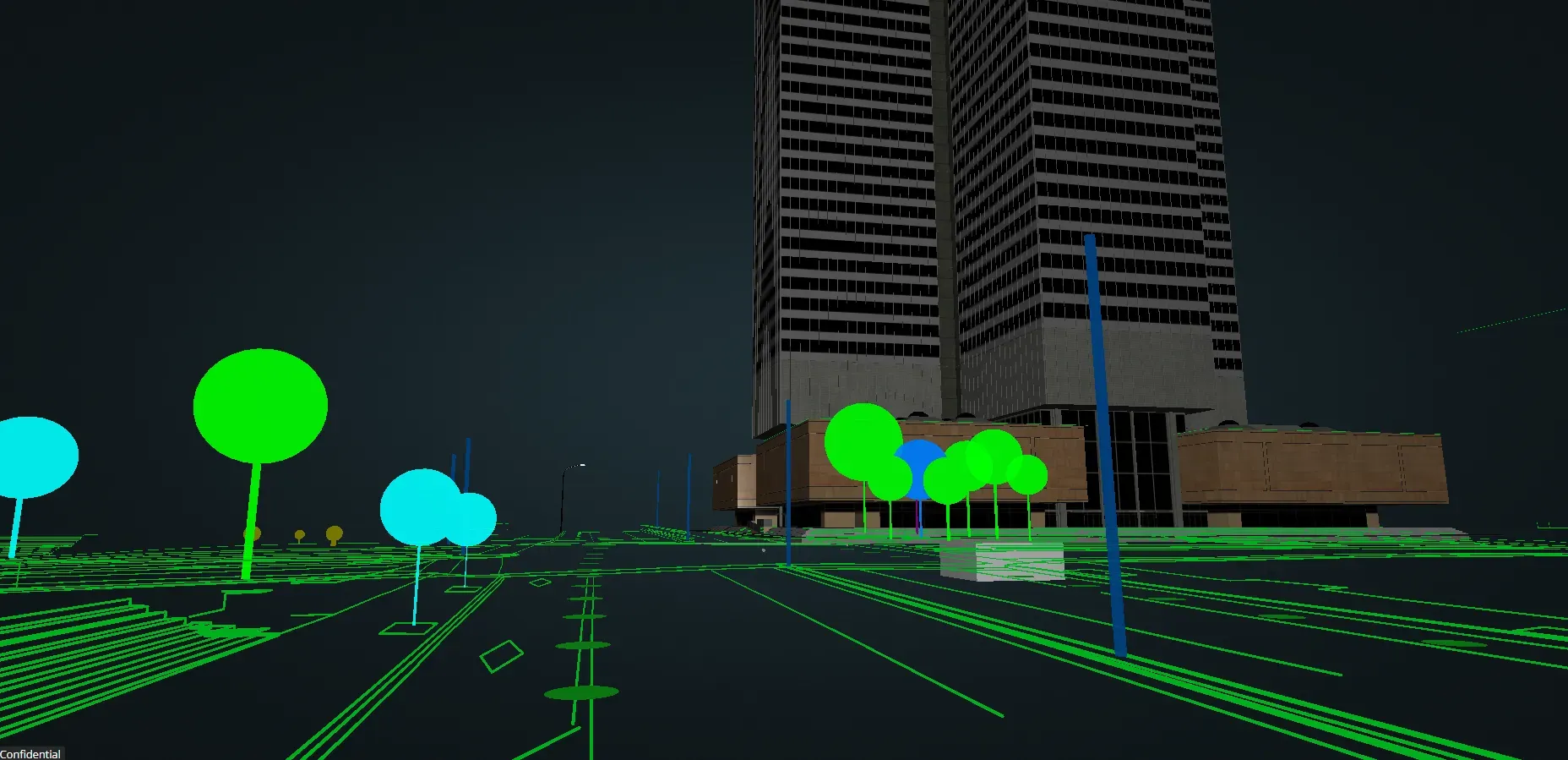
In the year 2020, Geo-Plus embraced the potential of artificial intelligence, ushering in a new era of capabilities. With the synergy of human ingenuity and AI prowess, the company unveiled a groundbreaking module.
This module not only recognized but also seamlessly integrated 3D objects within a scene. This technological leap marked a significant milestone, showcasing Geo-Plus’s commitment to innovation and adaptability in the fast-evolving landscape of 3D technology.

What makes Geo-Plus different
Our promise to providing custom solutions and great customer service sets us apart in the AEC software market. Additionally, our regular participation in events worldwide gives clients the opportunity to learn more about our products and have their questions answered in person.
Geo-Plus Outstanding technical support
Our unique, continued after-sales support and our quick response time allow us to meet the specific requests of each client.
Modular Development Approach at Geo-Plus
Our flexible approach to modular software development allows us to provide solutions tailored to every client’s needs.
Innovative Software Technologies at Geo-Plus
Over the years, our market has certainly evolved along with our product line. Geo-Plus offers an innovative, reliable and comprehensive Suite of software or applications throughout America and worldwide – the Vision suite.
Geo-Plus Affordable Annual Maintenance
With our subscription plans particularly, our clients don’t have to worry about renewing their maintenance contract. It’s included!
Let’s shape the future together!
Wilfrid Beaupre – C.E.O of GeoPlus Inc.