Analyzing Point Cloud Data: Techniques and Applications
Point cloud data is a useful tool for analyzing and visualizing the environment. A point cloud is a collection of points in three-dimensional space that represent the surfaces of objects in the environment. These points can be used to create detailed digital models of the environment that can be analyzed for a variety of applications. In this post, we’ll explore some techniques and applications for analyzing point cloud data.
Surface Analysis
Point cloud data is often used for surface analysis. This means looking at the shapes and connections of the surfaces in the point cloud. This can include measuring areas, volumes, and curvatures, as well as detecting defects and discontinuities.
Surface analysis is used in many applications, including industrial design, quality control, and building inspection. Surface analysis can be used to find defects in manufacturing or to find cracks in buildings.
Classification
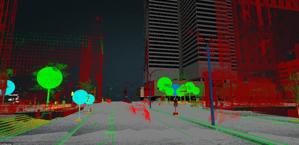
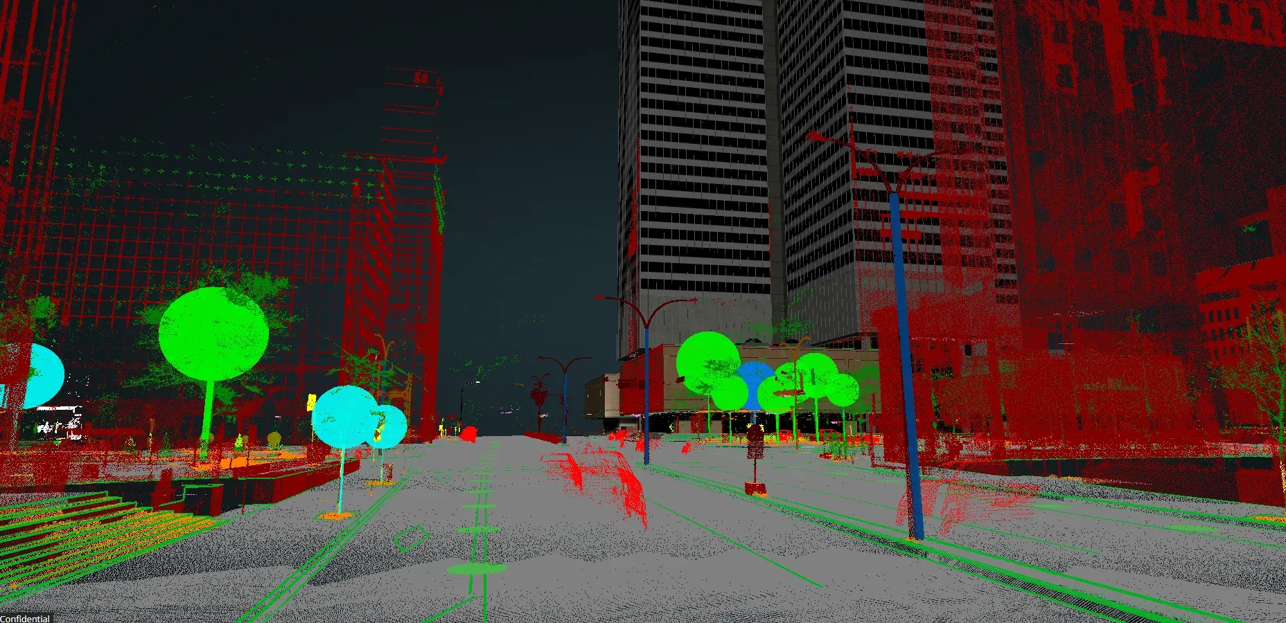
Another use for point cloud data is classification. This involves grouping the points into different categories. For example, points can be classified as vegetation, buildings, terrain, etc.
Classification is useful for many applications, including urban planning, environmental monitoring, and land management. Classification can be used to identify suitable development areas or monitor vegetation growth.
Object Recognition
Object recognition uses point cloud data to identify and locate specific objects. This can include vehicles, people, or other objects of interest. In the electric distribution industry, for example, it can detect transformers, fuses, and poles, and extract them automatically.
Visualization
Finally, point cloud data can be used to create 3D models and visualizations of the environment. This can include creating virtual tours of buildings or terrain visualizations for planning and design.
Visualization is useful for architecture, engineering, and construction. Visualization can help with building design and construction.
In conclusion, point cloud data is a valuable tool for analyzing and visualizing the environment. By employing techniques such as surface analysis, classification, object recognition, and visualization, point cloud data can be utilized for a multitude of applications across a spectrum of industries.
Analyzing Point Cloud with VisionLIDAR
VisionLidar offers a comprehensive suite of tools for analyzing point cloud data, enabling users to extract valuable insights and make informed decisions. Here’s how VisionLidar can help users analyze their point cloud data effectively:
1. Visualization:
- 3D Rendering: View your point cloud data in detailed 3D, allowing for a thorough visual inspection.
- Color Mapping: Apply color maps to highlight different attributes, such as elevation, intensity, or classification.
- Slice and section views allow users to create cross-sections and slices to focus on specific areas and gain a better understanding of the internal structure.
2. Measurement and Calculation:
- Distance and Area Measurement: Accurately measure distances, areas, and volumes within your point cloud data.
- Height and Elevation Analysis: Analyze height variations and generate elevation profiles to gain a comprehensive understanding of the topography.
- Volume Calculation: Calculate the volume of objects or voids for applications such as stockpile measurement and excavation planning.
3. Feature Extraction:
- Object Identification: Detect and extract features like buildings, roads, and vegetation.
- Contour Lines: Generate contour lines from elevation data to create topographic maps.
- Breakline Detection: Identify breaklines for improved surface modeling and accurate representation of terrain changes.
4. Advanced Analysis:
- Change Detection: Compare point clouds from different times to see changes over time.
- Density Analysis: Evaluate point cloud density to identify areas with high or low point concentrations.
- Statistical Analysis: Perform statistical analysis to understand point cloud data distribution and characteristics.
- Surface Analysis: Analyze surface characteristics, including slope, aspect, and curvature, to understand terrain and surface features.
5. AI and Machine Learning:
- Deep Learning AI Classification: Use deep learning to classify point cloud data accurately, distinguishing between different objects and creating models for your industry.
- Object Detection: Use AI to identify and label objects in the point cloud, such as vehicles, trees, and infrastructure.
6. Integration and Export:
- GIS Integration: Add point cloud data to GIS for better analysis.
- Data Export: Export data in different formats for other software or for sharing.
- Use VisionLidar365 to share/collaborate with clients/colleagues.
VisionLidar’s powerful analysis capabilities transform raw point cloud data into meaningful information, enabling you to make data-driven decisions. VisionLidar provides the tools you need to analyze point clouds with precision and efficiency, whether you are involved in urban planning, construction, environmental monitoring, or any other field that utilizes geospatial data.
We’d love to hear about your project! Just get in touch.
