Understanding the Types of Deliverables Produced from a Point Cloud
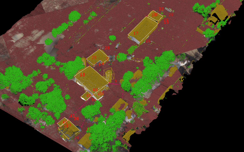
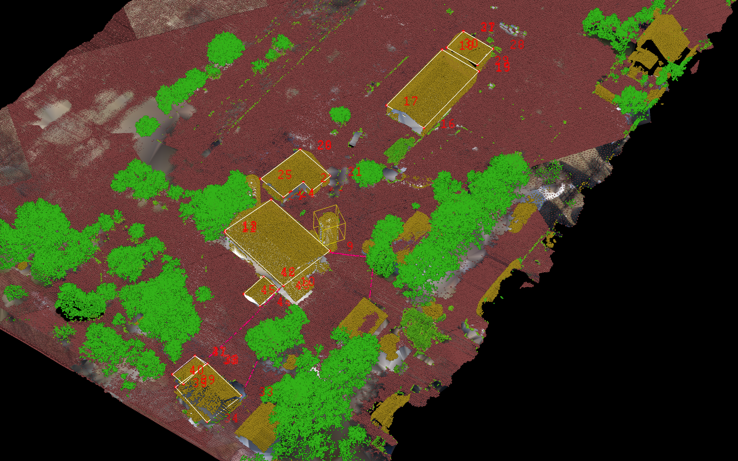
Point clouds are becoming an increasingly popular tool for capturing and analyzing data in a variety of industries, including architecture, engineering, and construction. Once a point cloud has been created and processed, there are a variety of deliverables that can be produced from the data. In this blog post, we’ll explore the different types of deliverables that can be produced from a point cloud.
2D Drawings and Plans
One of the most common deliverables created from a point cloud are 2D drawings and plans. These can be used for a variety of applications, including construction planning, site analysis, and as-built documentation. Converting point cloud data into 2D drawings and plans makes it easier to understand the physical characteristics of an environment and make informed decisions.
3D Models
Another popular deliverable created from a point cloud is a 3D model. These models can be used for a variety of applications, including building information modeling (BIM), virtual reality simulation, and visualization. Converting point cloud data into 3D models makes it easier to understand the physical characteristics of an environment and make informed decisions.
Volume Calculations
Point clouds can be used to calculate the volume of an environment, which is useful in a wide range of industries. For example, in mining, point clouds can be used to calculate the volume of mined material to determine the amount of ore that has been extracted. In construction, point clouds can be used to calculate the volume of materials needed for a project, such as concrete or asphalt.
Environmental Monitoring
Point clouds can be used to monitor environmental changes over time, such as erosion, vegetation growth, or water flow. By comparing point clouds acquired at different times, changes in the environment can be identified and quantified.
Quality Control
Point clouds can be used to identify defects or irregularities in a physical environment. For example, in construction, point clouds can be used to identify areas of a building that are not level, or where there are gaps or inconsistencies in materials. By identifying these defects early, they can be addressed before they become larger problems.
Inspection Reports
Finally, point clouds can be used to create inspection reports. These reports can contain detailed information about the physical characteristics of an environment, including measurements, photographs, and descriptions. Inspection reports can be used for a variety of applications, including compliance reporting, insurance claims, and legal documentation.
In summary, point clouds are a valuable source of data that can be used to create a wide range of deliverables. From 2D drawings and plans to 3D models, volume calculations, environmental monitoring, quality control, and inspection reports, point clouds can be used to inform decision making and improve efficiency in a wide range of industries. By understanding the different types of deliverables that can be produced from a point cloud, you can better leverage this technology in your work.
VisionLidar
VisionLidar provides a range of deliverables including, but not limited to, high-resolution 3D point clouds, classified point clouds, detailed 3D models and topographic contour maps. Users can generate Digital Terrain Models (DTM) and Digital Surface Models (DSM), as well as reports on extracted features and accurate volume and area measurements. In addition, VisionLidar provides comprehensive change detection analysis and detailed statistical reports, making it a versatile tool for geospatial analysis.
VisionLidar365
VisionLidar365 is a secure, flexible, and easily configurable platform available as both an on-premises and SaaS web solution with a responsive web design for anytime, anywhere access. It enables the organization, sharing, and publishing of point cloud projects, supports multiple mapping services, and provides asset inventory and vectorization capabilities, 3D model import, annotation, and precision measurement tools.
The platform provides a fully immersive 3D environment, customizable workspaces, panoramic views, and VR readiness to facilitate comprehensive data management and visualization. It supports specialized applications for energy and utility management, asset inventory, and building management, enabling digital twin creation, asset condition analysis, and detailed building footprint management.
Overall, VisionLidar365 provides robust tools for managing, visualizing and analyzing point cloud data across multiple industries, improving collaboration, accuracy and efficiency.
VisionPlus
VisionPlus is a cutting-edge professional land surveying software designed to integrate seamlessly with leading CAD platforms like BricsCAD®, AutoCAD®, Microstation®, and PowerDraft®. It centralizes survey project data, supports research, decision-making, and report generation, delivering accurate, high-quality outputs. VisionPlus allows surveyors to confidently verify results, ensuring utmost precision in their work by automatically drawing information from plots, segments, annotations, and areas, including sinuous rivers.
The software streamlines the layout process, enabling faster and more accurate drawings from field data, optimizing time and efficiency in surveying operations. VisionPlus also offers comprehensive parcel management, building siting, surface management, complex volume calculations, fieldbook import/export, and powerful linework capabilities. These features make it the preferred choice for surveyors, enhancing productivity, accuracy, and collaboration in survey projects.
VisionPlus is the trusted land surveying software for professionals, empowering surveyors with precision and efficiency. With robust tools for creating parcels, managing building footprints, triangulating surfaces, calculating volumes, and controlling data collectors, VisionPlus ensures surveyors can handle all aspects of their projects effectively and efficiently.
We’d love to hear about your project! Just get in touch.
