LiDAR Use Cases Across Various Industries
LiDAR (Light Detection and Ranging) is a technology that is widely used for the capture and analysis of data in a variety of industries. By emitting laser beams and measuring the time it takes for them to reflect off of surfaces, LiDAR sensors can create highly accurate three-dimensional maps and models of physical environments. This blog post will examine the various industries and applications where LiDAR is being utilized.
Architecture and Construction
One of the most prevalent industries utilizing LiDAR is the architectural and construction sectors. LiDAR is a valuable tool for creating accurate 3D models of buildings, roads, and other structures. These models can be used for planning, design, and construction purposes. LiDAR is particularly beneficial in the construction industry, as it enables the identification of potential issues before they become problematic. This includes the detection of underground utilities prior to excavation.
To provide a few examples:
Mining and Exploration
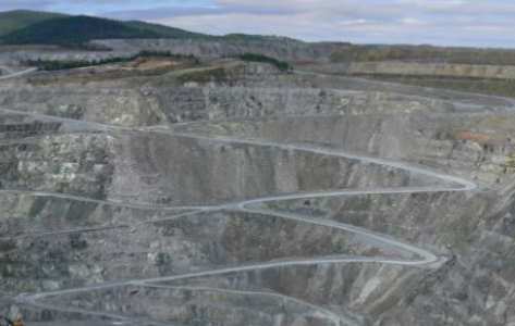
LiDAR is also utilized in the mining and exploration industry to map and model mines, mineral deposits, and other underground structures. By using LiDAR, mining companies can create highly detailed maps of underground environments, which can be used to identify the location of minerals and optimize mining operations.
Forestry and Agriculture
In the forestry and agriculture industries, LiDAR is utilized to map and model forests, farmlands, and other natural environments. This data can be utilized for a multitude of applications, including monitoring plant growth, identifying areas at risk of erosion, and calculating biomass.
Transportation
LiDAR is employed in the transportation industry for a multitude of applications, including the creation of 3D maps of roadways, the identification of potential hazards, and the development of autonomous vehicles. Additionally, LiDAR is utilized in the aviation industry for the creation of intricate 3D terrain models, which can be employed for navigation and landing purposes.
Geology
LiDAR is a valuable tool in the geology industry, used to create detailed 3D models of geological structures, such as mountains, valleys, and faults. This data can be utilized in a multitude of applications, including geological mapping, mineral exploration, and hazard assessment.
Archaeology and Heritage Preservation
LiDAR is employed in archaeology and heritage preservation for the mapping and modeling of historical and cultural sites. LiDAR data can be used to create highly detailed 3D models of structures, such as ruins and tombs, which can be employed for the purposes of preservation, documentation, and analysis.
In conclusion, LiDAR is a versatile technology that is being used across a wide range of industries. From architecture and construction to mining and exploration, forestry and agriculture, transportation, geology, and archaeology, LiDAR is being used to create accurate 3D maps and models of physical environments, which can be used for a wide range of applications. As LiDAR technology continues to evolve, we can anticipate the emergence of new industries and use cases in the future.
We’d love to hear about your project! Just get in touch.