Geo-Plus

Geo-Plus | LiDAR, Land Surveying and Civil Engineering Software Solutions

Month: February 2023

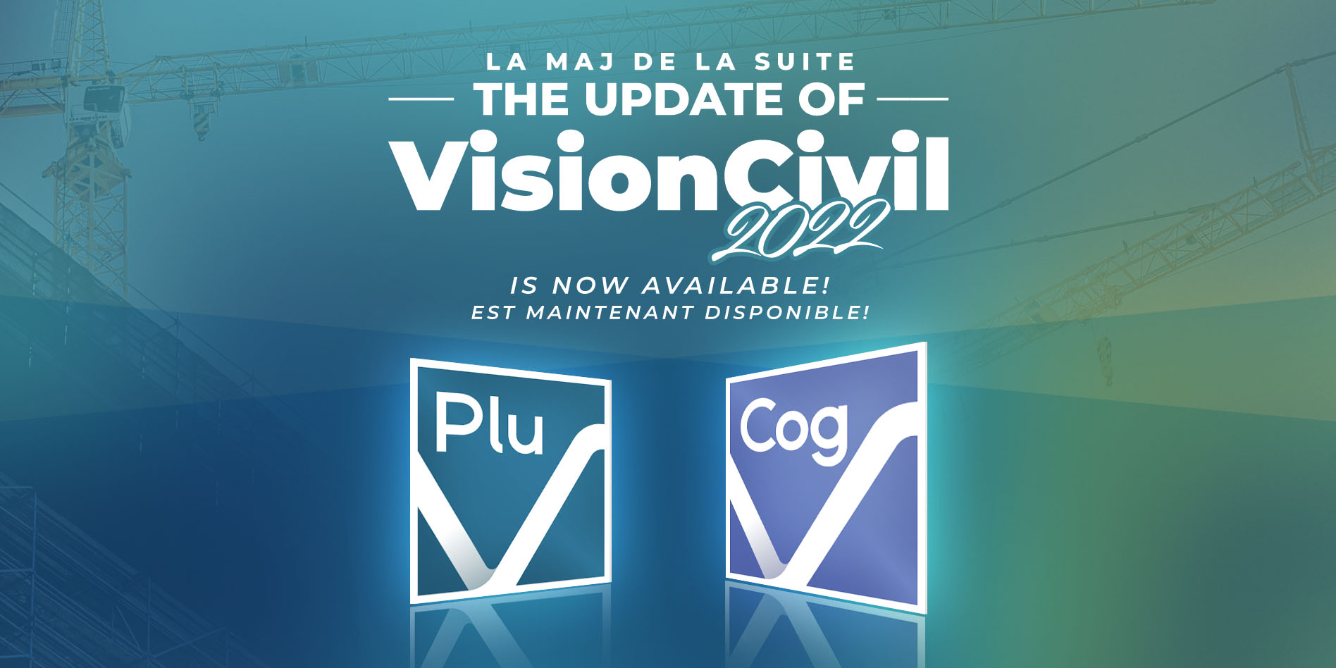
VisionDoc’s new version is here!

Dear Customer,

We are proud to announce the release of the VisionDoc 2022.

To view all updates, you can access the online Release Notes.

Access the online Installation Guide.
Please do not hesitate to contact us should you have any questions during the installation of your software or to give us feedback on all the new features of VisionDoc 2022.

Your opinion is very important to us, The entire team at Geo-Plus would like to thank you for your continued support!

The update of VisionCivil Suite is here!

Dear Customer,

We are proud to announce the release of the 2022 VisionCivil Suite (v.32.0.01.93).

To view all updates, you can access the online Release Notes.

Access the online Installation Guide.

How to access your files?
To log in and download your software, please click here.

Do you need to uninstall or simply update your software?
If you have a 2021 or earlier version, we strongly recommend to uninstall.

Geo-Plus and ELITESOFT SRL Greece, Sign Reseller Agreement

“We are very pleased to have ELITESOFT SRL join us as a new reseller. With a deep knowledge of the Greek, Cyprus, Belgium and the Balkan’s market, they really know how to bring the best information technology solutions to their clients. Together, we will be able to bring our joint customers to the next level and provide them with the best service possible,” says Wilfrid Beaupré, president of Geo-Plus.

The new version of VisionTTL is here!

Dear Customer,

We are proud to announce the release of the 2022 VisionTTL.

Several new features are now available:

Importation of batch descriptive data files directly into jobs.
Launch search and open TTLGMap from batch history form.
Search for quotes by comments and specifications.
Added GST and QST columns to customer invoice report.
Possibility to generate the mandate identifier from the first type of work added to the mandate.
Optimization of searches by batch criteria.
And even more! To consult all the new features, you can access the online Release Notes.

and access the online Installation Guide.

The new version of VisionLidar is here!

Dear Customer,

We are proud to announce the release of the 2022 VisionLidar.

Several new features are now available:

New Format (2022) compatible with the VisionLidar 365 a Geo-plus secured Web platform for point cloud solutions.
Simplified project creation interface allowing “Drag and Drop” of raw files.
Progress bar implemented for Deep Learning classification, for better tracking of the progression for the overall process.
Fully compatible with LAS 1.4 and with its 256 classes.

Geo-Plus and Servicios Geomáticos SpA , Chile , Sign Reseller Agreement

“We are very pleased to have Servicios Geomáticos SpA join us as a new reseller. With a deep knowledge of the Chile market, they really know how to bring the best information technology solutions to their clients. Together, we will be able to bring our joint customers to the next level and provide them with the best service possible,” says Wilfrid Beaupré, president of Geo-Plus.

Geo-Plus and Rubikon Geosystems LLC , Azerbaijan, Sign Reseller Agreement

“We are very pleased to have Rubikon Geosystems LLC join us as a new reseller. With a deep knowledge of the Azerbaijani market, they really know how to bring the best information technology solutions to their clients. Together, we will be able to bring our joint customers to the next level and provide them with the best service possible”, says Wilfrid Beaupré, president of Geo-Plus.

Geo-Plus and ARCHI-TECH, South Africa, Sign Reseller Agreement

“We are very pleased to have ARCHI-TECH join us as a new reseller. With more than a decade of experience in the industry, they really know how to bring the best information technology solutions to their clients. Together, we will be able to bring our joint customers to the next level and provide them with the best service possible”, says Wilfrid Beaupré, president of Geo-Plus.

Geo-Plus and True Tech, Vietnam, Sign Reseller Agreement

“We are very pleased to have True Tech join us as a new reseller. With more than 20 years of experience in the industry, they really know how to bring the best information technology solutions to their clients. Together, we will be able to bring our joint customers to the next level and provide them with the best service possible”, says Wilfrid Beaupré, president of Geo-Plus.

Paracosm and Geo-Plus Associate For 3D Land Survey Solution

“We are delighted to offer this software to our PX-80 customers” says Amir Rubin, Paracosm president. “The versatile VisionLiDAR works as a standard point cloud processing tool—a critical need in many workflows—but also includes comprehensive functionality for specific applications like topography generation, city assets extraction, and tree extraction. It allows us to offer a truly complete 3D mapping solution to meet the needs of demanding users in surveying and other industries.”

Scroll to top